How it started
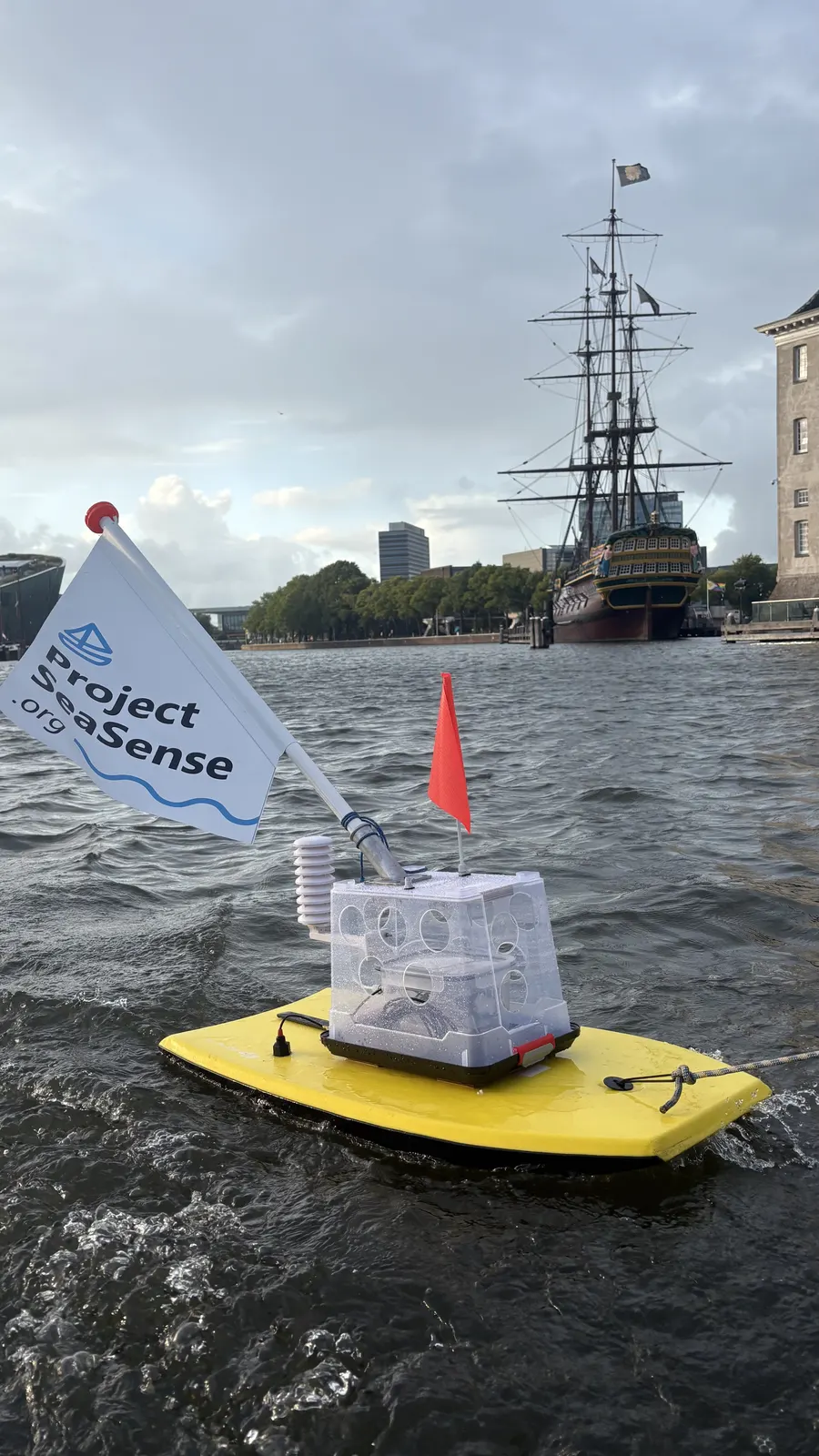
Project SeaSense began with a practical question on an Amsterdam canal, and a food container full of sensors on a bodyboard.
The story so far
The idea
The question
When is Amsterdam canal water fit for the garden? Measuring it showed how far salt from the North Sea reaches inland, and raised a bigger question: what if the boats already on the water measured it for us?
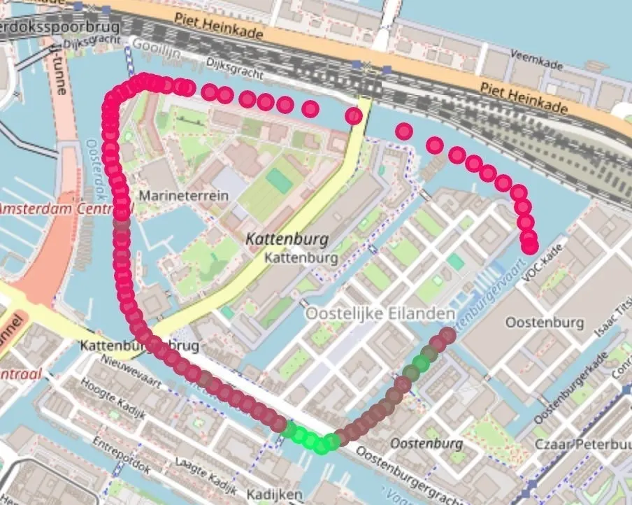
One of the first data runs on the Amsterdam canals. 2025
Unit v0.1: a bodyboard and a food container
The first unit was built from off-the-shelf parts: an ESP32, GPS, a battery pack and probes for water temperature, conductivity and turbidity, sealed in a food container and strapped to a bodyboard. It was towed behind a paddleboard through Amsterdam, then behind a small boat on the canals and the Markermeer. Tested up to Beaufort 3.
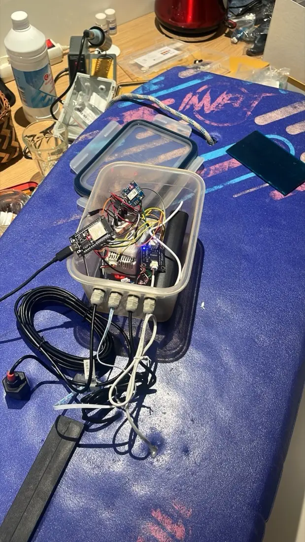
Unit v0.1 on the workbench, 2025. 2025
What the towed unit taught us
Towing works for a trial, not for a network. Sailors won't drag a board around, and the boat already carries better instruments. So we flipped the design: read the boat's own instruments, and add only what's missing.
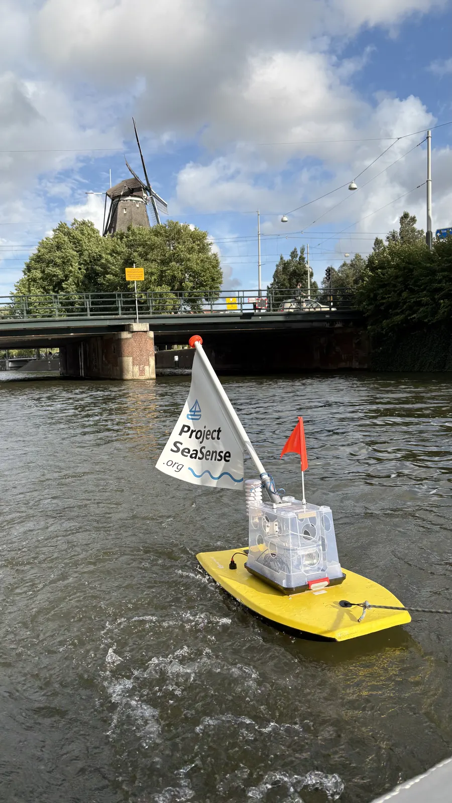
Testing on the canals, 2025. 2026
Tier 1 and Tier 2 go to sea
A compact node that plugs into the boat's instrument network, plus an optional water-quality module. It sailed to Stockholm and back aboard a new Contest 63CS.
2027
Next: a fleet
From the logbook
Select a photo to see it larger.
The prototype on Amsterdam's waterfront, 2025. Testing on the canals, 2025. One of the first data runs on the Amsterdam canals. Unit v0.1 on the workbench, 2025. Under tow on the Markermeer, 2025. Heading for the Markermeer-Midden measuring station, 2025. A Tier 1 node at the nav station, 2026. The Tier 2 water-quality module, 2026. Quality control, 2026.